What it is
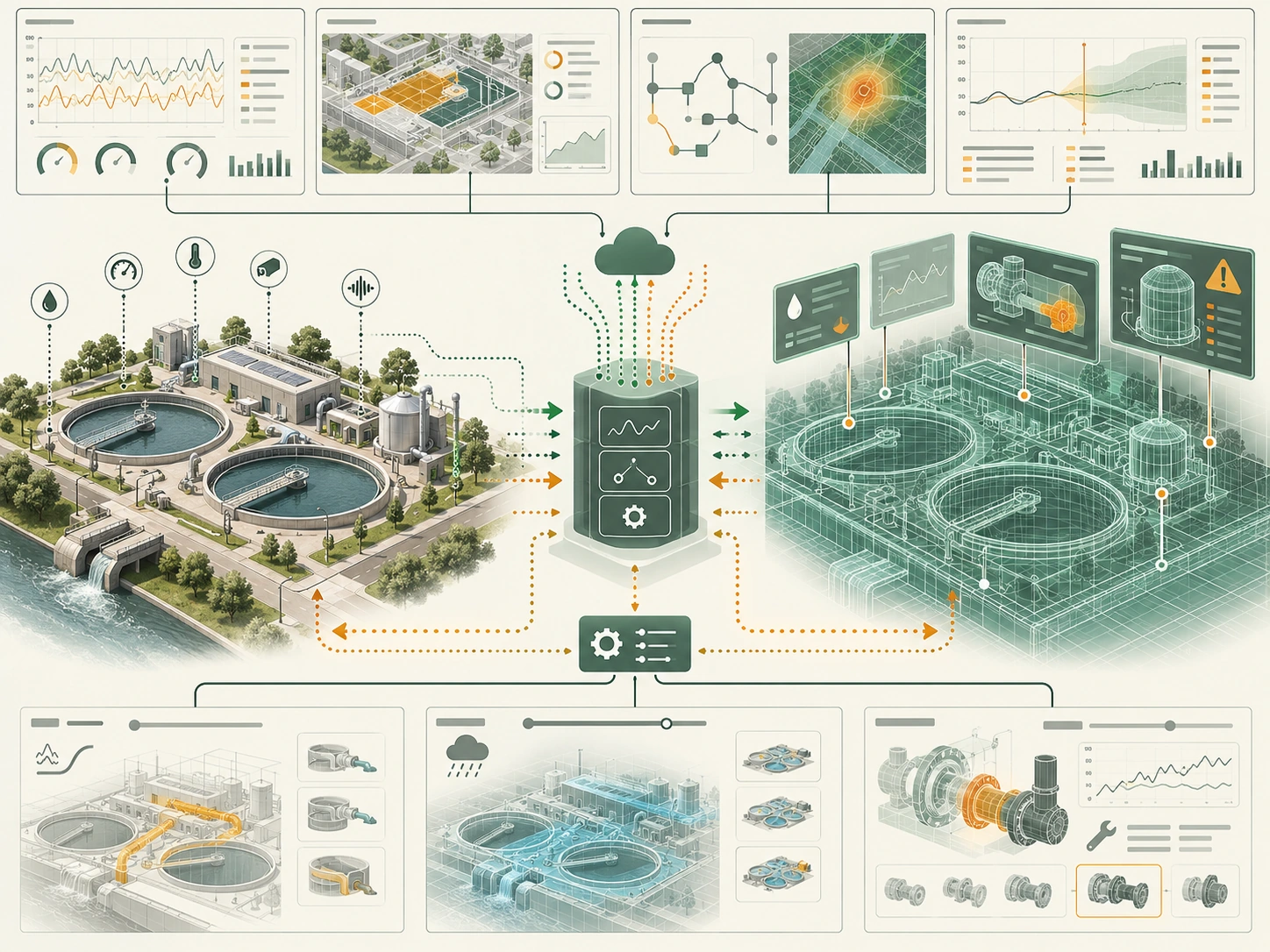
An urban digital twin is a digital representation of a place or system linked to selected physical data. Depending on scope, it may support monitoring, analysis, or simulation. A 3D model by itself is not a functioning twin; data refresh, validation, ownership, and operational use define what it can support.
Explore the City Digital Twins directory → to browse city models and documented connected twins, with separate implementation, lifecycle, and access classifications.
How it works
- 01Set a bounded purpose, such as monitoring a district or testing a transport scenario.
- 02Connect relevant asset, sensor, and service data with clear identifiers and update rules.
- 03Validate the representation against observed conditions and document what it omits.
- 04Use the model to answer a defined question, then compare forecasts or scenarios with later outcomes.
- 01
Set a bounded purpose, such as monitoring a district or testing a transport scenario.
- 02
Connect relevant asset, sensor, and service data with clear identifiers and update rules.
- 03
Validate the representation against observed conditions and document what it omits.
- 04
Use the model to answer a defined question, then compare forecasts or scenarios with later outcomes.
Why it matters
A linked model can help teams see relationships across buildings, transport, and utilities. Its value depends on fit for purpose and evidence quality. Outputs should be treated as estimates when real-world data is incomplete or delayed.
Typical Smart City applications
- District operations and energy planning
- Transport scenario analysis
- Infrastructure monitoring
- Testing service or resilience plans
Example data inputs
Strengths
- Combines spatial and operational views
- Supports scenario comparison before field changes
- Can reveal data gaps between departments
Limitations and risks
- A visually detailed model can imply more accuracy than its inputs support.
- Integration and maintenance can be more difficult than the initial demonstration.
- Simulations do not replace field validation or public accountability.
Illustrative workflow
Applied city example
Alexandria's Digital Mobility Ecosystem project page describes work on a transportation digital twin, with procurement and initial deployment coordination underway. The stated project stage is not evidence of a fully operational citywide twin or measured outcomes.
Related methods
- Geospatial analytics
- Simulation and scenario modeling
- Time-series forecasting
- City sensor networks
Frequently asked questions
Is a 3D city model a digital twin?
Not by itself. A twin needs a defined relationship to physical data and a use that can be validated.
Can a twin predict what will happen?
It can simulate scenarios based on assumptions and inputs. Predictions should be checked against observed outcomes.
What should be published about a city twin?
Purpose, data sources, update cadence, limitations, access rules, and how operators use or verify outputs.